



People heading to Ankara for work, university, a hospital appointment or a family visit tend to ask the same question first: how far is Osmaniye from Ankara, and how long does it take? By our route calculation the two city centres are about 585 km apart by road, and almost the entire way is motorway. Below we explain the distance, the route, the cities you pass, winter notes and intercity travel by taxi.
How far is Osmaniye from Ankara?
Our route calculation (OpenStreetMap data, OSRM) shows about 583 km from Osmaniye city centre to Kızılay Square in central Ankara; from our rank in Fakıuşağı it is about 584 km. Traffic-free driving takes about 5 hours 40 minutes.
| From – to | Road distance | Traffic-free time |
|---|---|---|
| Osmaniye centre – Ankara Kızılay | ~583 km | ~5 h 40 min |
| Fakıuşağı (our rank) – Ankara Kızılay | ~584 km | ~5 h 45 min |
On a long journey a short break every two hours is recommended for the driver and passengers alike; with breaks and city traffic in Ankara the trip can take 6.5 to 7 hours.
The route and the cities you pass
The route in our calculation runs as follows:
- Osmaniye – Tarsus: west on the O-52 motorway, past Ceyhan and Adana, to the junction near Tarsus, about 116 km.
- Tarsus – Pozantı – Ulukışla: turn north onto the O-21 motorway; the road climbs from the Çukurova plain into the Taurus Mountains, reaching Pozantı and then Ulukışla in Niğde province.
- Niğde – Aksaray – Ankara: the O-21 crosses the Central Anatolian plateau past Niğde, runs through Aksaray province and the Şereflikoçhisar and Gölbaşı districts of Ankara, and joins the Ankara ring road.
In short, the road passes through the provinces of Osmaniye, Adana, Mersin (Tarsus), Niğde, Aksaray and Ankara. The O-52 and O-21 are toll motorways; you can find current toll charges on kgm.gov.tr.
The Taurus crossing in winter
The section that needs most care is the Pozantı–Ulukışla stretch over the Taurus Mountains and the high Central Anatolian plateau that follows. From November onwards snow, ice and fog can occur on these sections, and the road surface can freeze in the early morning. It is a good habit to check the road condition announcements of the General Directorate of Highways and the closed roads query on e-Devlet before setting off; we explain how that query works in our Bahçe–Nurdağı road conditions guide. In bad weather it is safer to travel in daylight.
10 November and visiting Anıtkabir
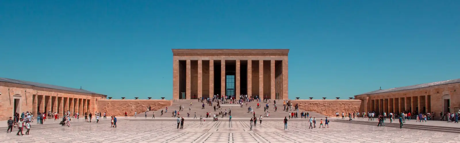
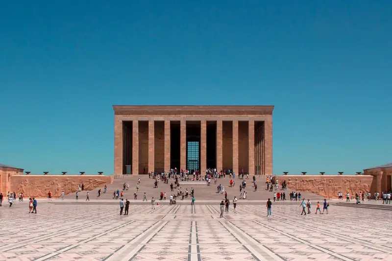
Every year on 10 November, the number of people visiting Anıtkabir, Atatürk's mausoleum, to commemorate him rises, and traffic and crowds in Ankara increase too. If you plan to visit Anıtkabir, arriving in Ankara a day early and checking the visiting hours in Anıtkabir's official announcements will make things easier.
Bus, plane or taxi?
For a solo trip without time pressure, intercity buses from the bus station are often the more budget-friendly option; check departure times with the bus companies. If you prefer to fly, we compare the airports near Osmaniye in a separate guide; check flights to Ankara with the airlines. A taxi makes sense for a large family, lots of luggage, a sick or elderly passenger, an appointment at a set time or a door-to-door journey.
Fixed price and how the journey works
Because Ankara is outside our province, this trip is charged not by the taximeter but at a fixed price that we tell you before setting off. The price depends on your pick-up address, your destination in Ankara, the number of passengers, luggage, and whether it is one way or a return trip. We state clearly in the quote whether motorway tolls are included. You can find more about long journeys on our intercity taxi page. The road as far as Niğde is shared with the Cappadocia route; if you are going to Cappadocia, see our Osmaniye to Cappadocia guide.
Ask for a fixed-price quote
On long trips we give you a fixed price before departure instead of running the meter. Fill in the form; it opens in WhatsApp with the template below and we reply with the price in the same chat.
Template: “From · To · Date · Time · Passengers · Luggage · One way / Return”. We agree details such as motorway, waiting and the return trip together in the quote.
Tip: Leaving early in the morning lets you cross the Taurus in daylight and reach Ankara before the evening rush hour.
Frequently asked questions
The roughly 585 km between the two city centres takes about 5 hours 40 minutes without traffic in our route calculation. With rest stops and city traffic in Ankara it can take 6.5 to 7 hours.
In our route calculation the road passes Adana and turns towards Ankara near Tarsus in Mersin province; it then runs through Pozantı (Adana), Ulukışla (Niğde), Niğde, Aksaray, and the Şereflikoçhisar and Gölbaşı districts of Ankara before reaching the city.
Yes, most of it: the O-52 from Osmaniye to Tarsus and the O-21 from Tarsus to Ankara. Both are toll motorways; you can find current toll charges on kgm.gov.tr.
The Pozantı–Ulukışla section crossing the Taurus Mountains and the Central Anatolian plateau can be affected by snow, ice and fog in winter. Before setting off, check the road condition announcements of the General Directorate of Highways and the closed roads query on e-Devlet.
