




Listen to this page
0:007:16 left
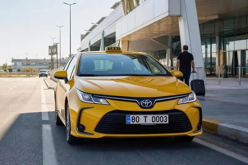
Osmaniye has no airport of its own; air travel starts at one of four airports in the neighbouring provinces. By road from the city centre, the two nearest are Kahramanmaraş (KCM) and Hatay (HTY): both are about 115 km away, only a few kilometres apart. Çukurova International Airport (COV), which took over Adana's scheduled flights, is about 130 km away, and Gaziantep (GZT) about 160 km. As a stand that takes passengers to all four, let us say from the outset: the airport that looks nearest on the map isn't always the right one for your flight.
How do the four airports rank by road distance?
Setting off from central Osmaniye, the order is Kahramanmaraş, Hatay, Çukurova and Gaziantep. You'll find the road distance and estimated time in the table below:
| Airport | Distance | Duration | Fare |
|---|---|---|---|
| Kahramanmaraş Airport KCM | 112.6 km | 1 h 25–40 min | Ask for a quote |
| Hatay Airport HTY | 114.2 km | 1 h 35–50 min | Ask for a quote |
| Çukurova International Airport COV | 131.1 km | 1 h 50 min – 2 h 5 min | Ask for a quote |
| Gaziantep Airport GZT | 158.6 km | 1 h 50 min – 2 h 5 min | Ask for a quote |
Distances are calculated from Osmaniye city centre (the historic Clock Tower point) on the OpenStreetMap road network with OSRM; times add a 10–25% margin to the traffic-free driving time. Outside the central district we quote a fixed price before departure instead of running the meter. Adana Şakirpaşa Airport has been closed to scheduled flights since 11 August 2024; Adana’s flights now use Çukurova (COV).
Adana Şakirpaşa Airport isn't on the list, because it hasn't handled scheduled flights since 11 August 2024. Çukurova Airport, which opened near Tarsus the day before, on 10 August 2024, took over Adana's flights (DHMİ, the State Airports Authority). Şakirpaşa journey times you may come across in older articles are no longer any use: Çukurova is about 35 km further from Osmaniye than Şakirpaşa.
Why do the straight-line and road distances give different results?
If you measure with a ruler on the map, the nearest airport to Osmaniye is Hatay: about 80 km as the crow flies. Kahramanmaraş is almost the same distance, just a few kilometres behind. Çukurova and Gaziantep are around 105–110 km as the crow flies.
A car, however, doesn't follow the ruler's straight line, but the road. Road distances come out 25 to 50 km longer than straight-line distances, and the gap is widest on the road to Gaziantep. So don't decide because an airport “looks close on the map”; look at the road distance and estimated time.
Does the neighbourhood you start from change the order?
It can; the difference between Kahramanmaraş and Hatay is so small that your starting address usually decides which is ahead. Here's a summary of our calculation using OpenStreetMap road data (OSRM):
- The north and east side of the city: If you start from around the bus station or from the Main Building of the Training and Research Hospital in Selimiye, Kahramanmaraş Airport is a few kilometres closer.
- Fakıuşağı and the south-west of the city: If you start from Fakıuşağı, where our stand is, from OKÜ's Karacaoğlan Campus or from the Additional Services Building in Akyar, Hatay pulls ahead.
- Toprakkale and the Organised Industrial Zone: Hatay is clearly ahead. Starting from the OSB, even Çukurova is closer than Kahramanmaraş.
Gaziantep, on the other hand, is the furthest of the four whichever neighbourhood you start from. We calculate the price and departure time not from the central point in the table, but from your door.
By time, Gaziantep and Çukurova are neck and neck
In estimated driving time, Kahramanmaraş and Hatay are again ahead: we calculate about 1.5 hours for Kahramanmaraş and a little more for Hatay. The back of the field is surprising, though: although Gaziantep is about 25–30 km further than Çukurova, the estimated times for the two airports are almost the same, both in the 1.5–2-hour range. Time is set not only by kilometres but also by the type of road and the places you pass through; on the way to Çukurova you also pass Adana.
The times in the table were calculated by adding a margin of 10–25 percent to the traffic-free driving time. The eve of a religious holiday, evening traffic or roadworks can exceed this margin; we take that into account when we discuss your departure time.
Is the nearest always the right choice?
No; it's your flight, not the kilometres, that decides the airport. Çukurova, between Adana and Mersin, is an international airport and, according to Wikipedia, handled more than 5.4 million passengers in 2025. As of October 2026, Kahramanmaraş has flights by AJet, Turkish Airlines (THY) and Pegasus; Hatay and Gaziantep are also open to scheduled flights. Check which cities are served, on which days and at what times, on the airports' and airlines' own websites; route lists change from season to season.
When deciding, ask these four questions in order:
- Which airport has a direct flight to your destination? A connecting flight can take far more time than the road difference between airports.
- Does the flight time suit the drive? The first flight of the morning means setting off at night; for a flight leaving towards midday, a slightly more distant airport may be more convenient.
- What's the total door-to-door time? Add the time your airline recommends you be at the terminal, the flight and the trip at the other end to the drive.
- What's the total cost? Add the trip to the airport to the ticket price. You can ask for separate prices for two airports; once you put the figures side by side, the sums become clear.
Tip: On flight search sites, enter KCM, HTY, COV and GZT in turn as the departure airport and compare the results for the same day.
Which airport stands out in which situation?
A short summary of the four airports:
| Airport | Stands out when | What you should know |
|---|---|---|
| Kahramanmaraş (KCM) | Leaving from the north and east side of the city; shortest drive | The airport is close to Kahramanmaraş city centre |
| Hatay (HTY) | Leaving from Fakıuşağı, OKÜ, Toprakkale or the OSB | The nearest airport as the crow flies |
| Çukurova (COV) | Adana's scheduled flights; the Havamaş shuttle option | Replaced Adana Şakirpaşa |
| Gaziantep (GZT) | If the flight time or route suits you | The furthest, but the drive is close to Çukurova's |
We cover the road notes for each airport in separate articles: the Kahramanmaraş Airport outward and return plan, what to know about the road to Gaziantep and, for Çukurova, our article comparing Havamaş with a taxi. Once you've chosen your flight, just send your flight number, address and number of passengers for an airport transfer; we'll give you the price and departure time before setting off.
Frequently asked questions
No; as the crow flies, Hatay Airport is the nearest, while by road, leaving from central Osmaniye, Kahramanmaraş Airport pulls a few kilometres ahead. Both are about 80 km away as the crow flies and about 115 km by road. Because the difference is so small, which one is nearer usually depends on the neighbourhood of your home or workplace. Çukurova, at about 130 km, and Gaziantep, at about 160 km, are behind them both.
Leaving from Fakıuşağı and OKÜ's Karacaoğlan Campus, Hatay Airport is a few kilometres closer than Kahramanmaraş Airport. Our stand is in this area too; in our calculation using OpenStreetMap road data, it's about 115 km from here to Hatay and about 120 km to Kahramanmaraş. On the northern side of the city, such as around the bus station, the order is reversed. Send us your address and we'll work out the distance and departure time for your own door.
First look for a direct flight, then at the flight time and the total door-to-door time. A connecting flight can take far more time than the road difference between airports, which ranges from a few kilometres to 45 km. The first flight of the morning means setting off at night; for a later flight, a slightly more distant airport may be more convenient. Finally, add the trip to the airport to the ticket and compare the options by total cost.
