



Listen to this page
0:005:42 left
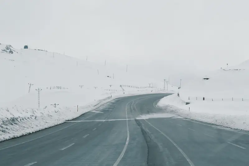
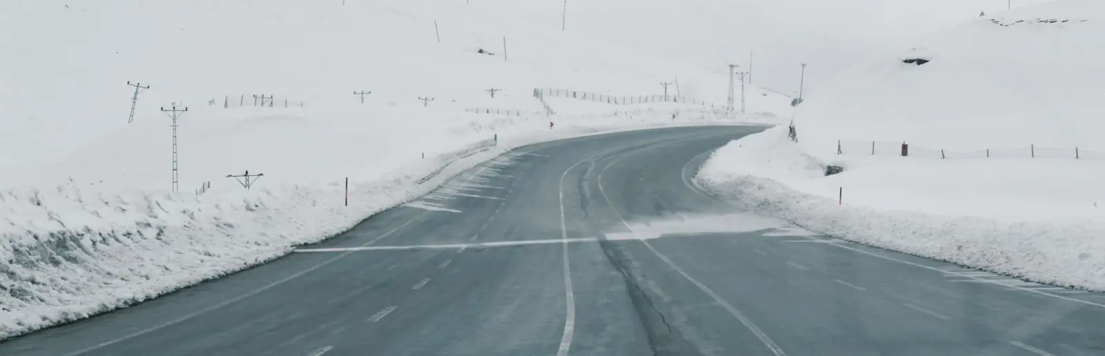
The roads from Osmaniye to Gaziantep, Kahramanmaraş or İslahiye share one section: the part of the O-52 motorway between Bahçe and Nurdağı that crosses the Nur Mountains. In winter, snow, ice and thick fog make the journey hardest on this section, and on severe winter days the road is sometimes closed to traffic. This guide does not give live road conditions; it explains where to check them and how to plan a winter trip.
Why does the Bahçe–Nurdağı section matter?
In our route calculation (OpenStreetMap data, OSRM), the route from Osmaniye to Gaziantep and to Kahramanmaraş starts the same way: from the city you join the O-52 Adana–Şanlıurfa Motorway, after about 45 km you enter the Kızlaç Tunnel of about 3 km in the Bahçe district, and about 10 km after the tunnel you reach Nurdağı. The roads split at Nurdağı: the Gaziantep road continues on the motorway, while the Kahramanmaraş and İslahiye roads turn onto the D-825. So a problem on this section affects journeys in all three directions at once.
A recent example shows what this section can face in winter. During heavy snowfall in January 2022, the Tarsus–Adana–Gaziantep Motorway was closed near Nurdağı, made worse by sliding lorries blocking the road, and thousands of people were stranded for nearly 19 hours (Milliyet). The motorway was reopened under control on 19 January (Hürriyet); on the 26th of the same month, the General Directorate of Highways announced that eastbound traffic on the motorway between Osmaniye and Gaziantep was not being allowed because of heavy snow (Milliyet).
Where to check road conditions
Official sources to check before you set off:
- General Directorate of Highways: The Roads Closed to Traffic query on e-Devlet (in Turkish) shows closed sections, the reason for the closure, the kilometre range and the time of the last update. Announcements are also published at kgm.gov.tr.
- Governorships: Traffic decisions taken because of snow and ice are often also shared in announcements by the Gaziantep and Osmaniye governorships.
- Weather forecast: Warnings from the Turkish State Meteorological Service (mgm.gov.tr) show the risk of snow, ice and fog in advance.
Traffic levels and user reports on map apps are a useful hint, but they do not replace an official closure decision. Also check the date on "road conditions latest" headlines in the news; an old report does not show today's situation.
Winter travel checklist
- Check the forecast the evening before. If snow or frost is expected, let's talk about the time of the trip.
- Set off earlier. On a winter day, add at least half an hour to the normal journey time; ice and fog are more common in the early morning.
- Check the latest situation before you leave. If there is an official closure, planning a new time is safer than setting off.
- Take with you: warm clothes, water, a snack and a fully charged phone. These help most during long waits.
- If you have an appointment, let them know. If you are going for a hospital appointment or official business, find out in advance whether you can change the appointment if the weather turns bad.
If you are flying from Gaziantep or Kahramanmaraş
If you will fly from Gaziantep or Kahramanmaraş Airport in the winter months, take this pass into account when buying your ticket. On days when snow is expected, looking at flights from Hatay Airport and Çukurova Airport, which do not pass through this section of the Nur Mountains, can make things easier. Our nearest airport guide, which compares the four airports, and our Gaziantep Airport guide help you decide.
What we do if the road is closed
If the road is officially closed or there is a closure warning, we do not recommend setting off; together with you we plan a new time and, where possible, another route or another airport. We describe the route and timing for Kahramanmaraş trips in our Osmaniye to Kahramanmaraş guide, and the İslahiye road in our taxi to İslahiye guide. When planning a winter trip, call us or write on WhatsApp; we will look at the weather together and set the departure time.
Tip: In the winter months, book the car for a Gaziantep or Kahramanmaraş trip a day in advance. If the forecast is bad the evening before, let's talk about the departure time again together.
Frequently asked questions
The most reliable source is the General Directorate of Highways: the "Roads Closed to Traffic" query on e-Devlet shows closed sections, the reason for the closure and the time of the last update. Also follow the announcements of the Gaziantep and Osmaniye governorships. Traffic levels on map apps give a hint but do not replace an official closure decision; check the latest situation in these sources before you set off.
The Kızlaç Tunnel is on the O-52 Adana–Şanlıurfa Motorway, within the Bahçe district of Osmaniye, and is about 3 km long. In our route calculation (OpenStreetMap data, OSRM), the tunnel entrance is about 45 km from Osmaniye city centre. About 10 km after the tunnel the motorway reaches Nurdağı; the Kahramanmaraş and İslahiye roads branch off here, while the Gaziantep road continues on the motorway.
First call your airline to find out the status of your flight and your options for changing it; airports may also change departure times in bad weather. If you are flying from Gaziantep or Kahramanmaraş and snow is expected on the pass, look at flights from Hatay and Çukurova, which do not use this section of the Nur Mountains, when you buy your ticket. Let's talk the evening before about setting off earlier for winter flights.
